Electric bikes quietly changed how many riders move across California. A waterfront path can stretch into a half-day outing.
A shaded river trail can turn into a comfortable 25-mile cruise without finishing the ride overheated and wiped out. In dense metro areas, pedal assist also fills the gap between recreation and daily errands, where traffic and parking punish short trips.
Adoption keeps climbing. PeopleForBikes reporting places e-bikes in the high-20% range of the total U.S. bike market in recent years, depending on channel and methodology.
California also runs incentive programs through the California Air Resources Board, with public program statistics available. More riders on micromobility devices also bring responsibility.
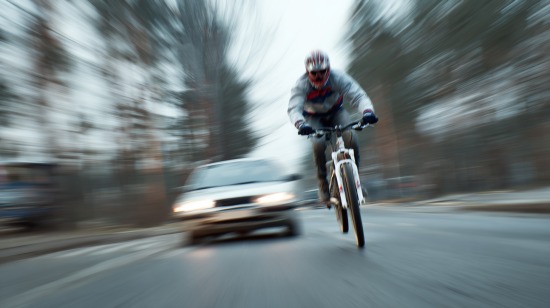
National injury reporting has shown rising injury trends tied to micromobility, which places extra weight on helmet use, speed control, and predictable riding habits.
The routes below share several practical traits that work especially well with pedal assist.
What Makes A Route Ideal For An E-Bike
Strong e-bike corridors usually share a short list of traits:
- Mostly separated right-of-way, such as Caltrans Class I bike paths, that reduce conflict with traffic
- Frequent access points that allow riders to shorten a day when legs, weather, or battery levels demand a change
- Reliable surfaces such as smooth pavement or well-maintained hardpack
- Nearby services that include water, restrooms, food, shade, and transit
- Adequate width and sightlines that reduce close calls on multi-use paths
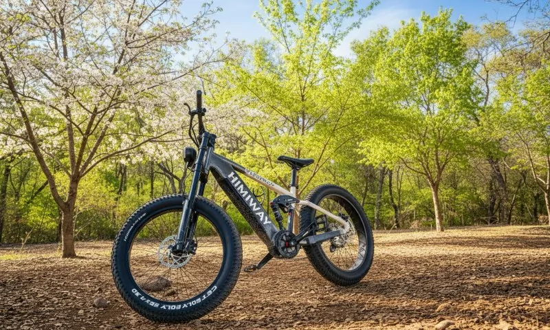
Note: Riders who pair frequent access points with a long range electric bike gain more freedom to link longer segments without reshaping the day around charging stops.
Quick Legal Reality Check For California E-Bikes
According to Justia U.S. Law, California defines e-bike classes in statute, with local overlays layered on top.
Common friction points:
- Class 3 riders must wear helmets and follow minimum age rules
- State Parks often limit Class 2 and Class 3 access off public roadways. Many park units allow Class 1 only where regular bicycles already ride, subject to superintendent orders
Checking posted trailhead rules remains smart, especially near park boundaries.
At-A-Glance Route List
1. Monterey Bay Coastal Recreation Trail

Monterey’s coastal corridor remains one of the easiest places to introduce pedal assist riding. City descriptions list about 18 miles of paved path stretching between Castroville and Pacific Grove.
Why It Works Well
Wind along Monterey Bay often picks up without warning. Motor assist keeps legs relaxed rather than locked into a grind.
Tourist activity stays heavy near Cannery Row and the Aquarium, so moderate pacing and polite passing matter. The trail layout supports short rides or longer point-to-point plans.
Planning Notes
- Start near Fisherman’s Wharf or Cannery Row for shorter scenic loops
- Begin farther north when crowd density feels high
- Use low assist near pedestrian clusters, then raise assist once open stretches appear
The result feels relaxed and flexible rather than rigid and rushed.
2. Napa Valley Vine Trail (Built Segments)
The Vine Trail represents a valley-wide vision, yet multiple built sections already support riding.
Regional transportation planning describes a planned 47-mile protected corridor from Calistoga to Vallejo with open segments appearing over time. The design favors level grades, paved Class I segments, and free public access.
Why It Works Well
Low grades fit steady cruising. Pedal assist also handles loaded bikes carrying picnic gear or wine purchases. Town-to-town riding feels natural with cafés and tasting rooms placed within comfortable distances.
Practical Cautions
- Not every segment connects directly yet
- Some detours still route onto public streets
- Local advisories can shift access
Planning ahead keeps rides calm rather than chaotic.
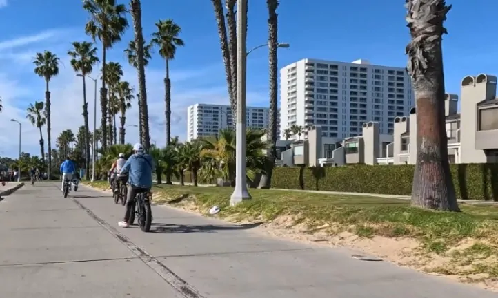
3. Marvin Braude Bike Trail
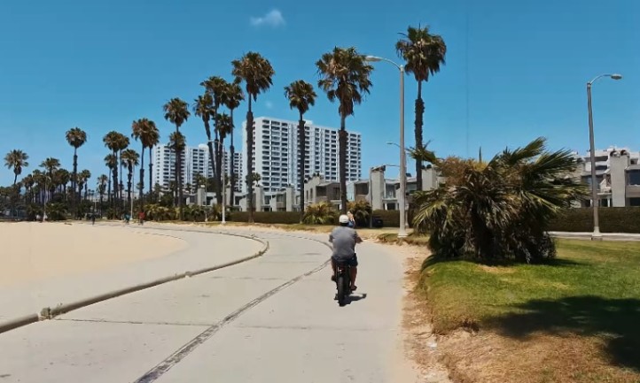
Los Angeles County describes the Marvin Braude Bike Trail as a 22-mile paved route running between Will Rogers State Beach and Torrance Beach.
Why It Works Well
Flat profile meets the strengths of pedal assist. Twenty-plus miles becomes achievable for a broad range of riders. Restrooms, food, and water appear frequently along the coast.
Riding Tips
- Early morning hours avoid heavy congestion
- Lower assist near Venice and Santa Monica where foot traffic spills onto the path
- Audible warnings help, though speed control remains the strongest safety tool
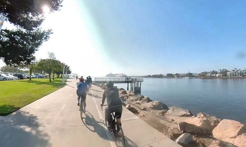
4. Bayshore Bikeway
San Diego Association of Governments describes the Bayshore Bikeway as a planned 24-mile corridor looping around San Diego Bay. Riders currently experience a blend of protected path and on-street connectors depending on which segments have reached completion.
Why It Works Well
Mixed facility riding becomes calmer when riders can accelerate smoothly through intersections. Coronado and bayfront parks also make stop-and-go riding enjoyable.
Planning Notes
- Review the current alignment before rolling
- Keep extra battery reserve for exposed bayfront headwinds
5. Jedediah Smith Memorial Trail
Sacramento County Regional Parks describes the Jedediah Smith Memorial Trail as a major paved corridor paralleling the American River, running from the Folsom area toward Sacramento. Many descriptions place its length in the low-30-mile range.
Why It Works Well
Long distances feel approachable. Numerous access points allow loops of almost any length. Tree cover and riverside parks supply shade and water access.
On-Trail Habits
Multi-use paths bring runners, families, and dog walkers. Keep speeds reasonable and pass with wide margins. While the corridor is generally safe, collisions can still occur, particularly where access ramps intersect with roadways.
Riders injured in serious crashes in the Sacramento area may consider speaking with a qualified Sacramento traffic accident lawyer to better understand their legal options.
6. Santa Ana River Trail And Parkway
San Bernardino County Parks and Orange County Parks describe a growing Santa Ana River Trail system aiming for about 110 miles once fully complete, stretching from mountain areas to Huntington Beach.
Why It Works Well
River corridors maintain manageable grades. Riders can select segments that match fitness and battery range. Some stretches also serve daily commuting patterns.
Practical Cautions
- Conditions vary by city jurisdiction
- Storm debris sometimes collects on riverside paths
- Flat-repair kits remain smart additions
7. San Gabriel River Trail
Los Angeles County listings provide access points and corridor maps for the San Gabriel River Trail.
Why It Works Well
Long, straight sections suit smooth cadence riding. Pedal assist supports consistent power output without forcing heavy breathing.
Planning Notes
Treat it as a corridor rather than a single destination ride. Expect crossings and access ramps depending on the entry point.
8. Pacific Electric Trail
City materials from Rialto describe the Pacific Electric Trail as an 18-mile paved multi-use path following the historic Pacific Electric Railway alignment between Claremont and Rialto.
Why It Works Well
Straight geometry suits steady cruising. Inland Empire heat and headwinds become less punishing with assist support. One-way rides also remain simple with pickup logistics.
Practical Tips
- Ride early during warm months
- Carry extra water beyond personal expectations
9. Bob Jones City-To-The-Sea Trail
View this post on Instagram
The Bob Jones City-To-The-Sea Trail links inland areas toward Avila Beach through a paved, county-maintained multi-use corridor.
Why It Works Well
Short length fits compact batteries and casual pacing. Family groups ride together comfortably. The Avila Beach turnaround adds a pleasant destination element.
Ideal Use Case
A relaxed rest-day outing for riders who still want movement without fatigue.
10. San Francisco Bay Trail
The Metropolitan Transportation Commission describes more than 350 miles of completed Bay Trail segments with an ultimate planned system approaching 500 miles around San Francisco Bay.
Why It Works Well
Segment modularity allows riders to string together waterfront miles without committing to massive distances.
Hills near shoreline connectors become manageable through assist. Transit pairing also helps, though operators publish varying rules for bike and e-bike handling.
Segment Ideas
- Shoreline park connectors near Oakland and Berkeley
- Waterfront promenades outside peak pedestrian hours
- Industrial shoreline corridors with fewer choke points
Checking interactive maps before rolling keeps surprises minimal.
Practical E-Bike Checklist For Multi-Use Paths
A short checklist helps riders prepare for battery limits, shared-path etiquette, and basic safety habits before rolling onto California’s busiest multi-use corridors.
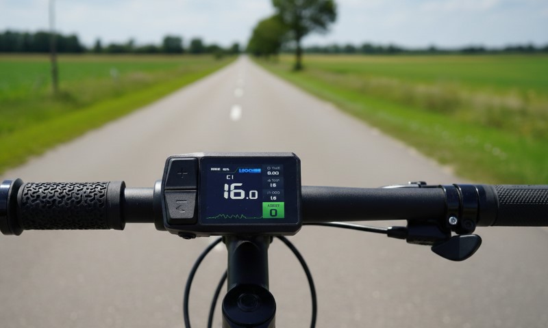
Battery And Range
- Headwinds and heat reduce the effective range
- Maintain 15% to 25% buffer for detours and unavailable chargers
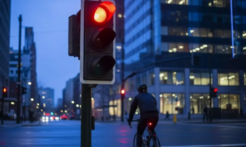
Speed And Etiquette
- Hold predictable lines
- Pass with space
- Slow near children, dogs, and congested coastal areas
Safety And Compliance
- Follow helmet and age rules for Class 3 riders
- Review State Parks restrictions where applicable
Summary
California offers an unmatched mix of coastal promenades, river corridors, and historic rail trails that pair naturally with pedal-assist riding. Flat profiles, frequent access points, and strong service density allow riders to build days that feel relaxed rather than rushed.
Thoughtful planning, courteous riding habits, and basic legal awareness keep those miles smooth and memorable.